Regional History Museum: Interactive Map Wall (React + Electron)
An interactive touch-screen map wall for a county museum in the region. Built with React, MapLibre GL, and Electron for kiosk deployment. A colleague was the primary developer; I contributed bug fixes, content syncs, and QA.
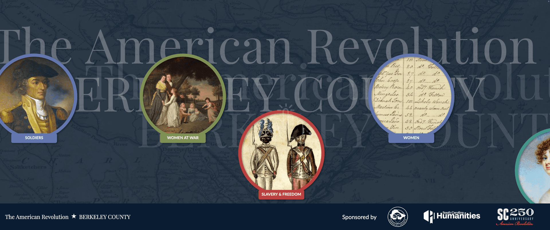
Overview
A full-screen interactive map wall for a county museum, letting visitors explore historical sites, stories, and media across the region. Built as a kiosk application with React, MapLibre GL, and Electron.
My Role
A colleague was the primary developer on this project, responsible for roughly 78% of the commits including the core architecture, mapping engine, Node-based content sync pipeline, and attract screen. I contributed 41 of 462 total commits (9%), focused on:
- Bug fixes: caption visibility, map location filtering, marker positioning (BCM-50, BCM-53, BCM-54)
- Content sync updates and version bumps
- QA and minor UI adjustments
Tech Stack
Interested in working together? I'm always open to discussing new projects and opportunities.